|
A low pressure system from the Great Lakes reached the Maritimes on the morning of March 1. Storm observations in Edmundston began at 1100 UTC and ended at 0010 UTC. Environment and Climate Change Canada initially forecasted the storm to begin in the early morning hours, but it started a bit later. Light snow began at 1120 UTC, with heavier precipitation beginning at 1250 UTC. Mixed precipitation of snow + ice pellets and snow + snow pellets was observed intermittently throughout the storm, as well as moderate to heavily rimed snow. Although temperatures were relatively mild (above 0°C from 1700 - 2300 UTC), no rain was observed at the site. Microphotography was taken throughout the duration of the storm (attempted every 10 minutes), but it was difficult at times because the snow was melting quickly on the collection pad. The majority of imagery was taken with a Nikon camera, but some additional imagery was collected using an iPad + microscope attachment. During observations, the sky remained completely overcast until it started breaking up around 2350 UTC. Below are some photos taken. The size of the particles are in the order of 0.5 - 4 mm. - Lisa
0 Comments
A large 'bomb cyclone' affecting much of the Eastern US travelled north over 4-5 December 2020, with some CoCoRaHS stations along the eastern seaboard reporting > 100 mm. The low affected the Martime provinces and streched inland as far as Quebec city (but not Montreal). The system produced snow in NE New Brunswick from 0000 UTC 6 December 2020 to 1200 UTC 7 December 2020.
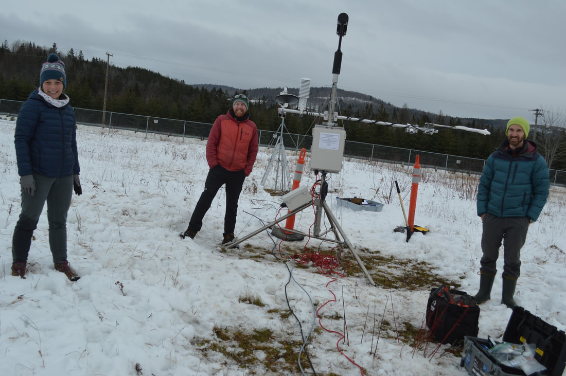
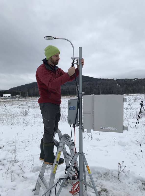
Fixed station data: Snow on ground at start of storm: 0 m Max snow on ground during storm: 0.147 m Hotplate accumulation: 23.3 mm HMP155 Air temp (mean): -4.08 decC The first storm of the campaign! - Hadleigh
|
Archives
April 2021
Categories |
 RSS Feed
